Access the most recent, extensive land data and parcel-level insights, all in one platform.
TRUSTED BY LAND PROFESSIONALS
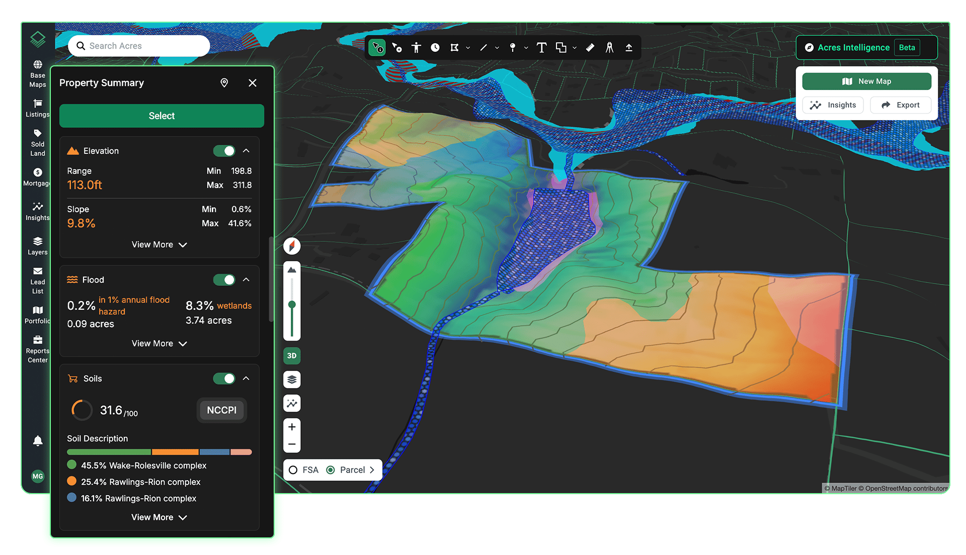
Speed Up Due Diligence
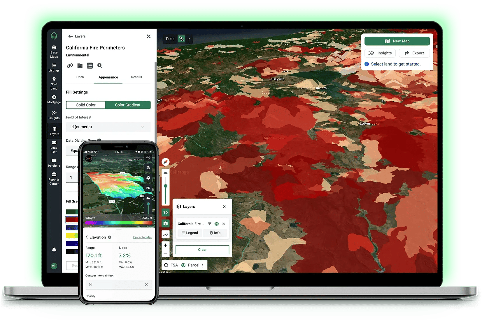
Make informed decisions with access to insights like flood zones, elevation, environmental risk, historical imagery, and more—in one interactive view.
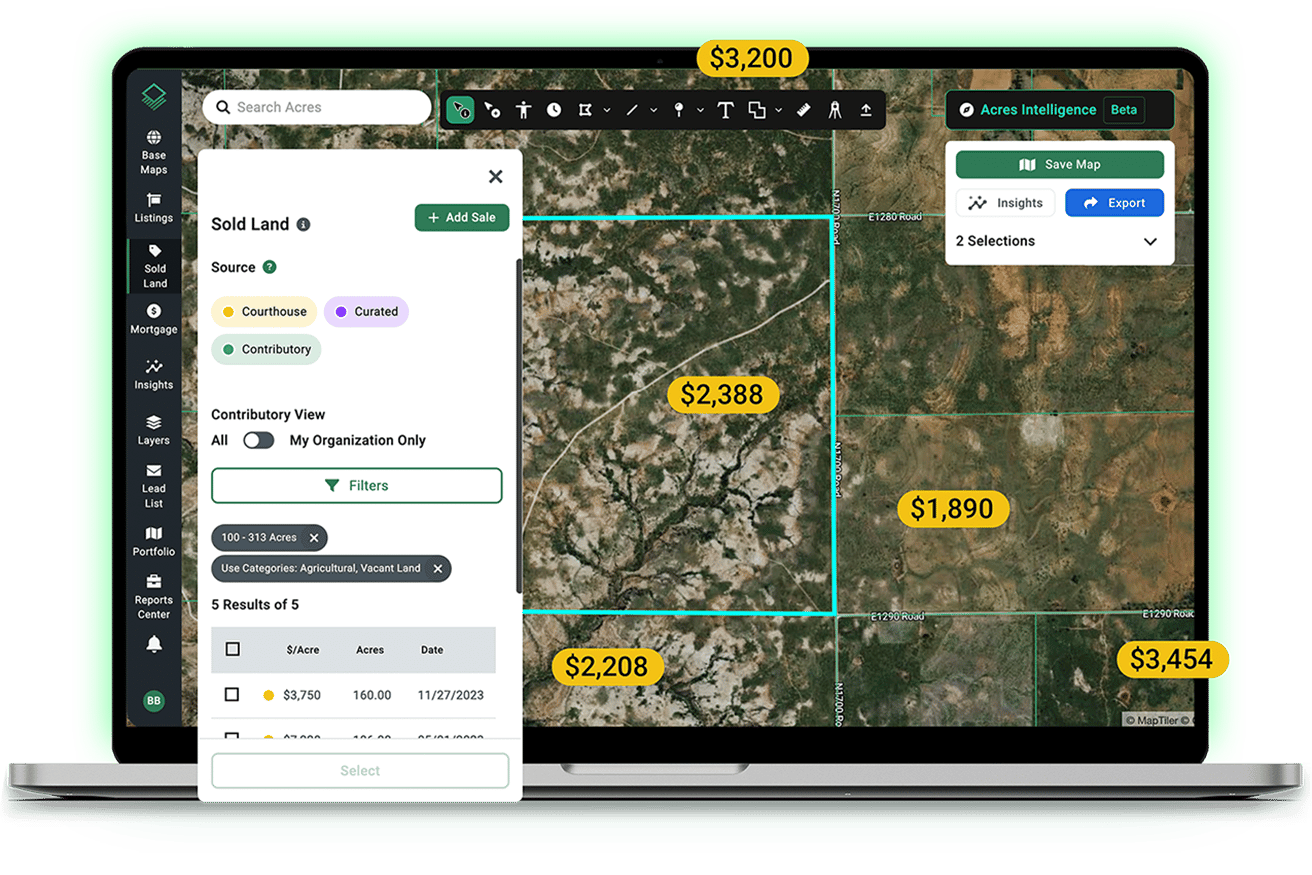
Value Land With Confidence
Find relevant comparable sales with the most recent and extensive land sales database available. Weekly updates and transaction data help teams deliver accurate valuations nationwide.
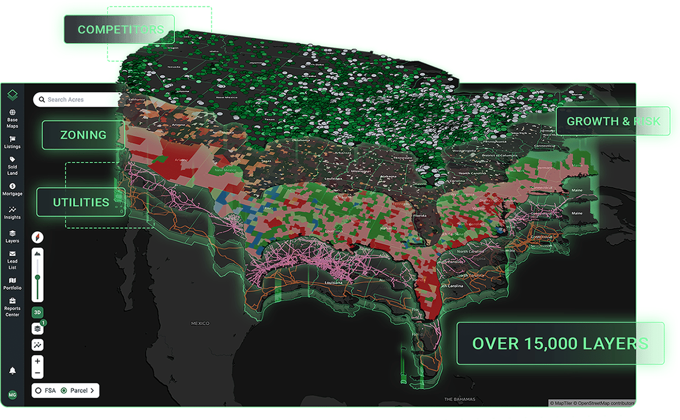
View Regional and Local Data Layers
Instantly map regional and local context. Access thousands of datasets like zoning, infrastructure, and environmental risk—or drag-and drop your own data to visualize it on the map.
Build Shareable Reports in Minutes
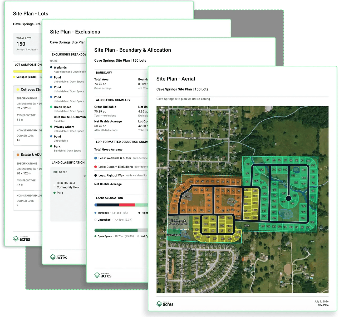
Customize and export branded PDF property reports, market analyses, and aerial maps in just a few clicks so you can share your research with anyone.
Analyze, map, and share your next opportunity, all in one place.