

Your Edge in Retail Expansion
"Having it all together in one place has been a tool that we haven't had before. It would always have to be scattered around in different places to try to paint a picture."
"We've been working on land projects non-stop for the last year and had our heads in every computer program available... this is by far the most impressive tool we've seen."
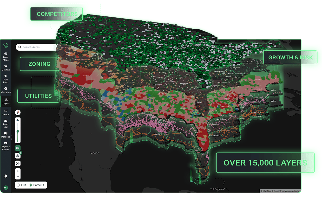
Qualify Suitable Sites With Thousands of Relevant Data Sets
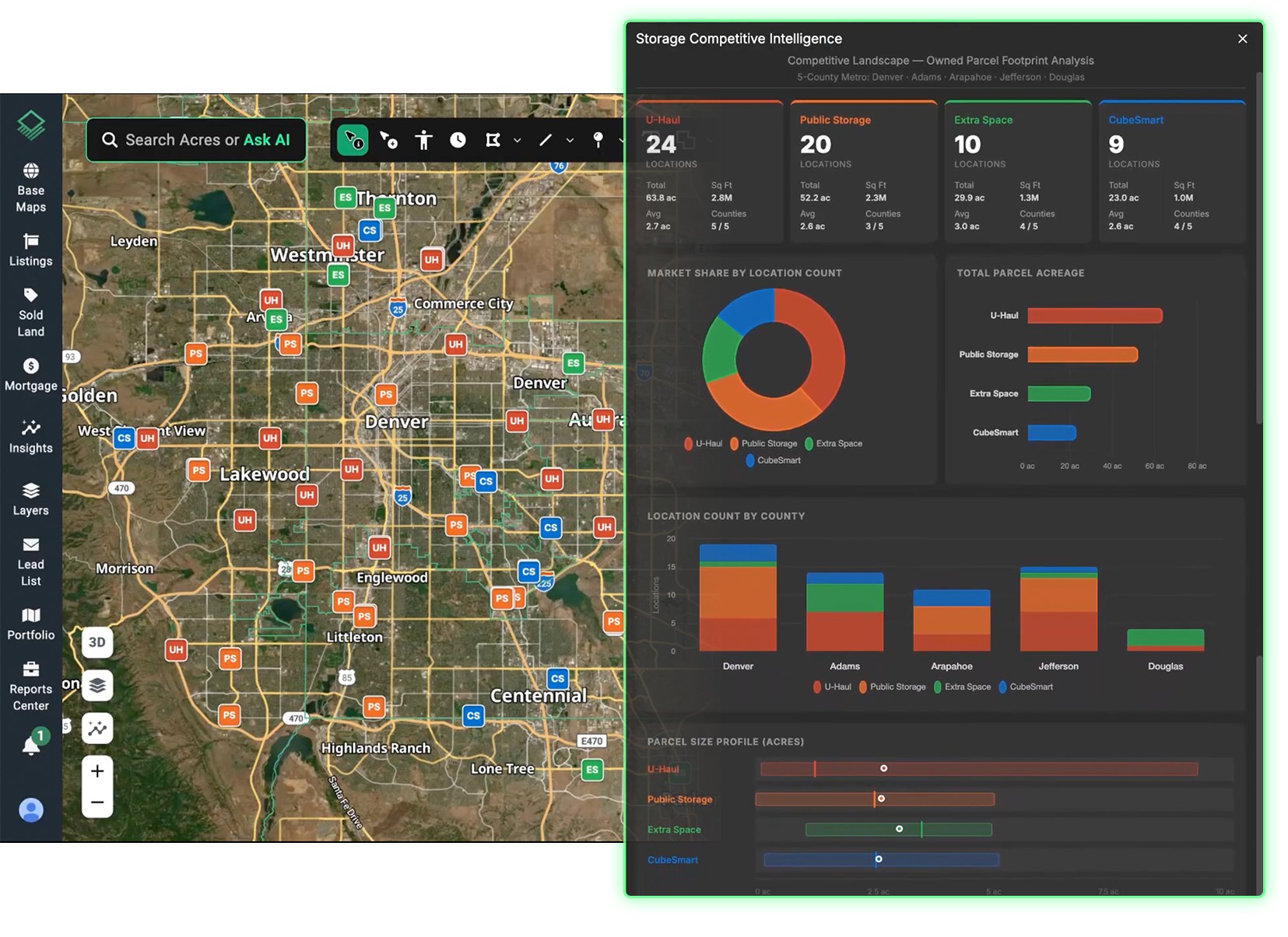
Get There First With Competitive Market Intelligence
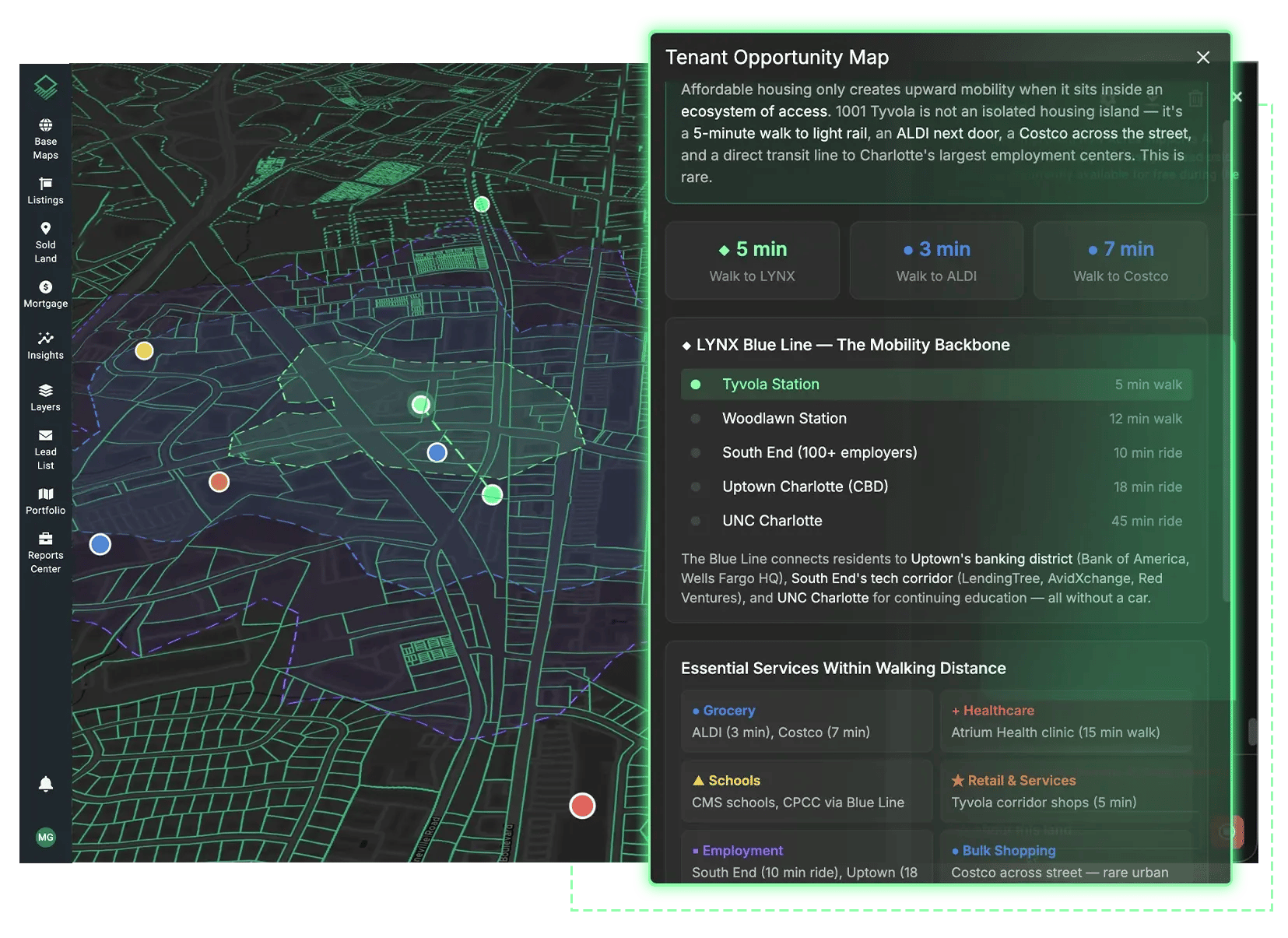
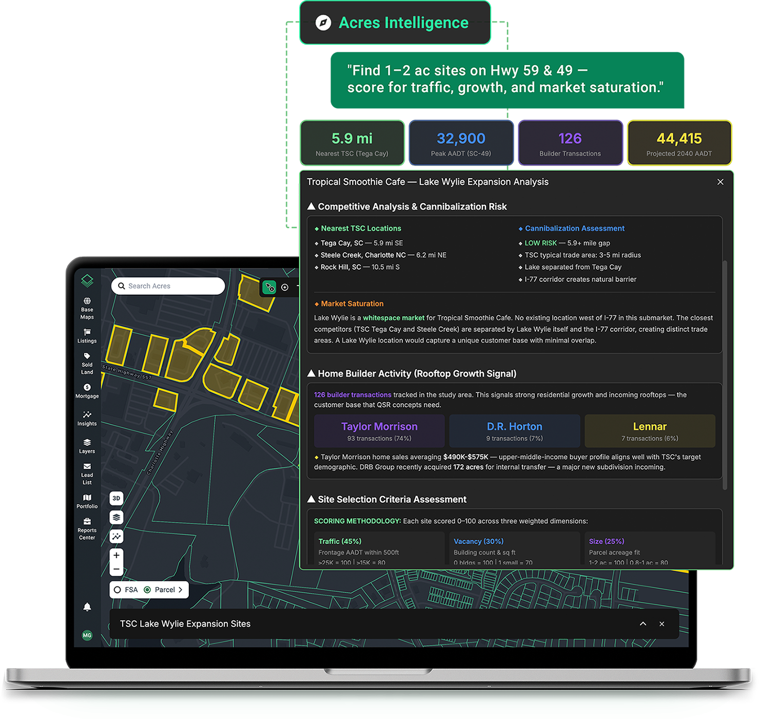
Find Suitable Sites With Natural Language Search
Describe site requirements and instantly surface matching parcels on the map. Filter by zoning, population growth, and more criteria that matters to your expansion strategy.
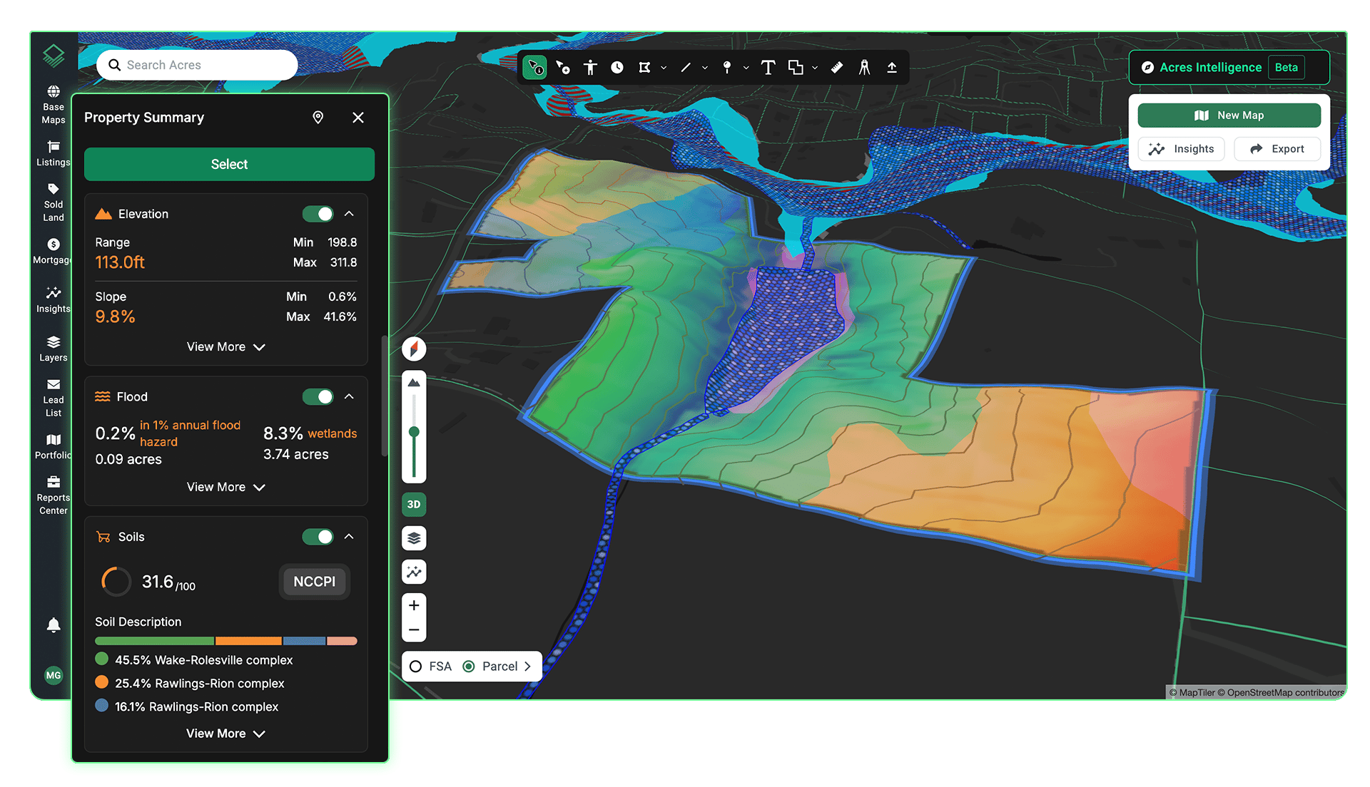
See Every Site Detail in One View
Visualize traffic patterns, utilities, elevation, flood zones, and competitor locations in one view. Import your own proprietary datasets or use provided layers to evaluate site viability in minutes.
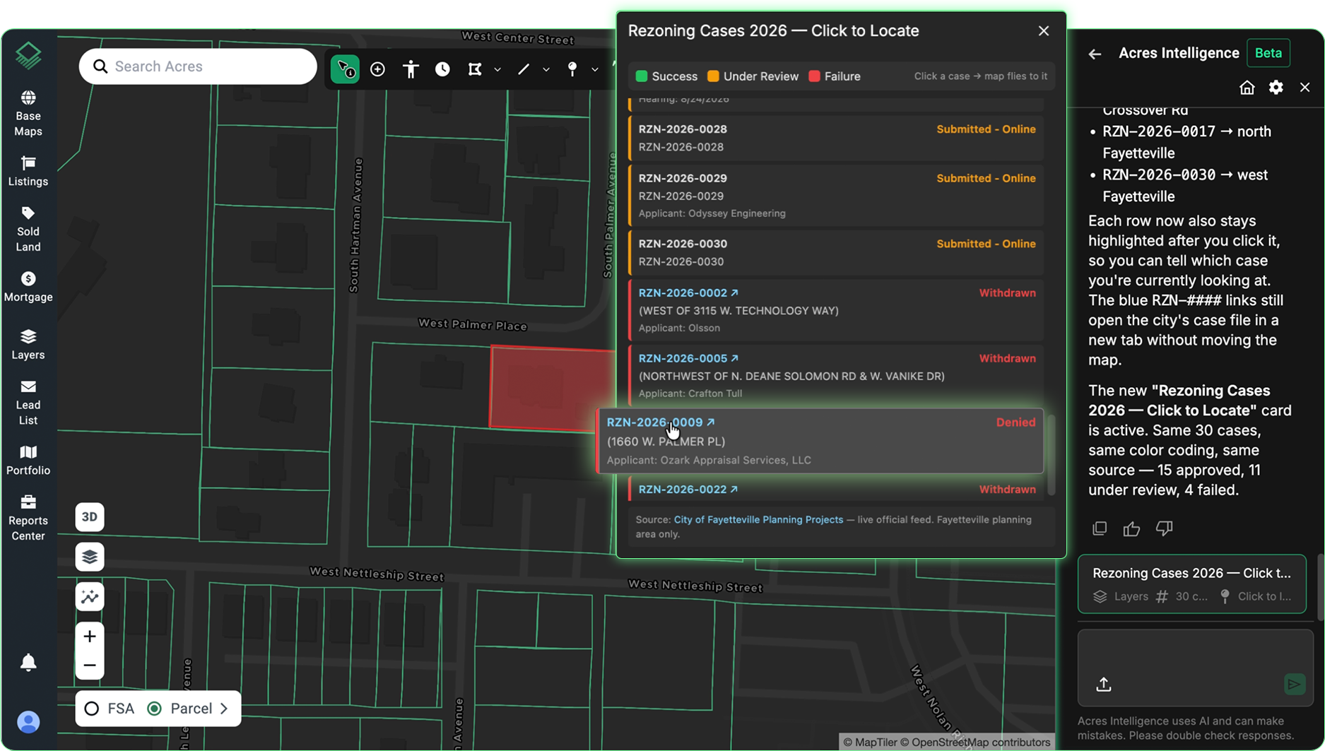
Track Rezoning Activity and Sentiment
See rezoning approvals, denials, and community sentiment directly on the map. Surface nearby precedent, track council activity by city or county, and verify every finding with links to the original meeting minutes and filings.
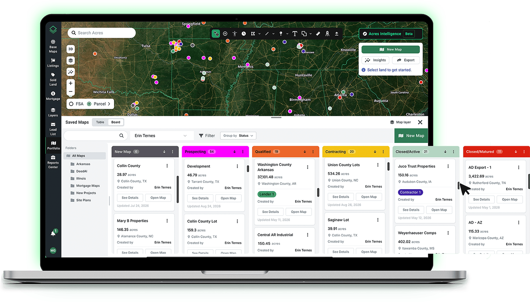
Centralize Your Team's Workflow
Organize projects, share site evaluations, and collaborate on acquisition decisions in one secure platform. Keep your team aligned from initial site identification through deal close.
The Most Extensive Land Data Available.
10000 +
150 M+
45 M+
15000
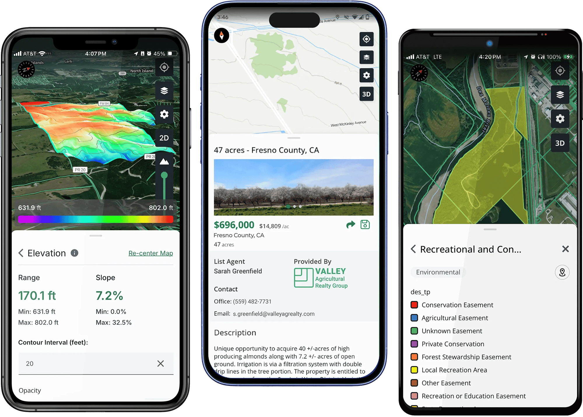
Take Acres in the Field
Evaluate sites and capture photos, notes, and observations in the field with the Acres mobile app. Everything syncs automatically to your desktop so your team stays aligned wherever they work.