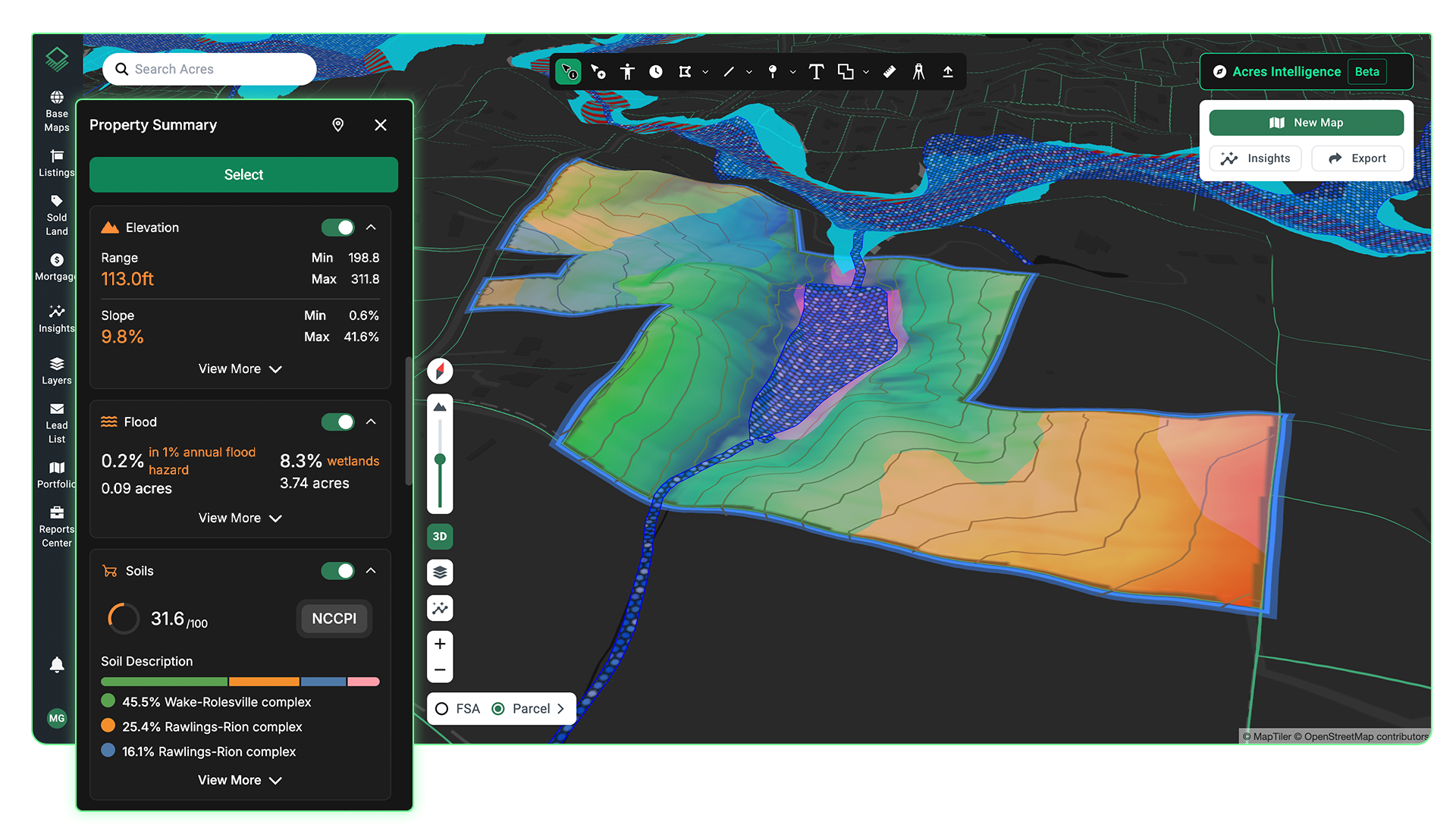
Qualify opportunities with access to insights like flood zones, elevation, environmental risk, historical imagery, and more, for any parcel.
See the Land Before the Site Visit
Check Street View to see current site conditions and historical imagery to understand how the land has changed over time. Run travel time analysis to measure drive times and distances from your target parcels to key destinations.
View National and Local Data Layers
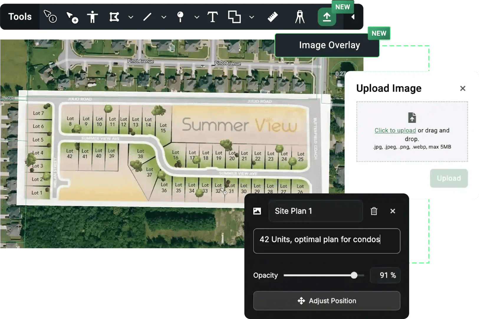
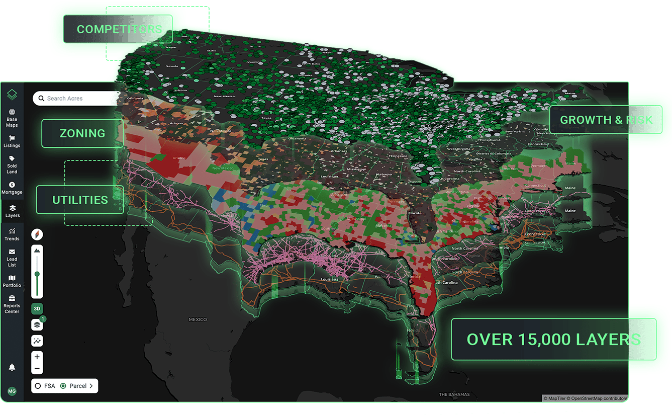
Access thousands of national or local datasets like zoning, infrastructure, and sentiment risk—or drag-and drop your own data to visualize it on the map.
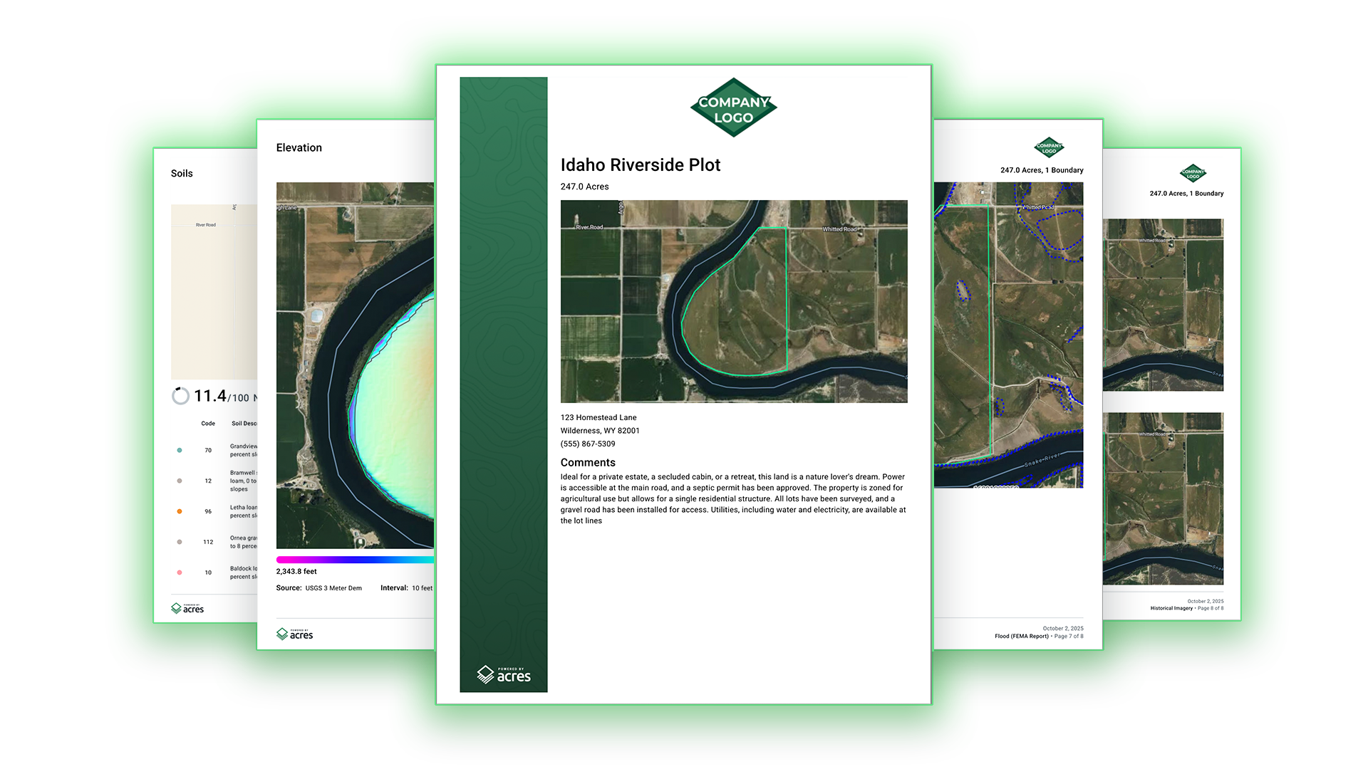
Generate Branded Reports in Minutes
Customize and export branded PDF property reports, market analyses, and aerial maps in just a few clicks.
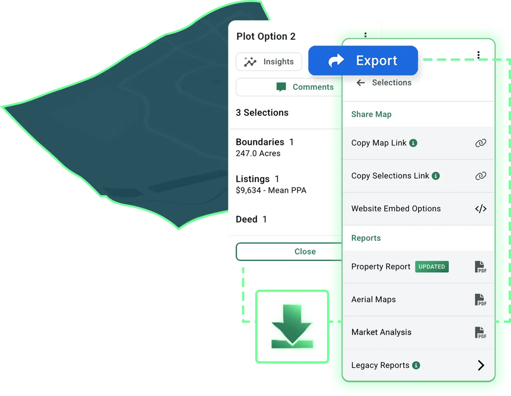
Choose How You Share Your Maps
Send direct links, embed interactive maps on websites, download, and print — Acre lets you share your maps with anyone.
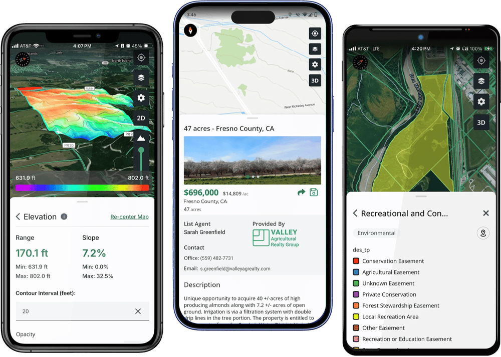
Take Your Maps Anywhere
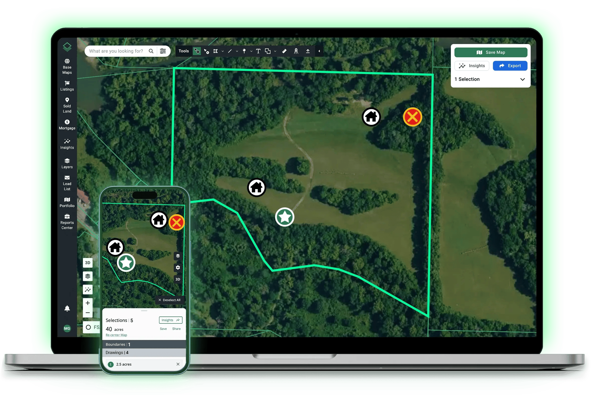
Edit custom maps on the go or take your maps offline with the mobile app, available for both Apple and Android.
Acres has saved me a lot of time and effort, as I no longer need to juggle between multiple mapping platforms. I highly recommend Acres to anyone in the real estate industry.
Jake Hofer | BrokerLandProz
Analyze, map, and share your next opportunity, all in one place.