

National and Local Land Data, All in One Place
No complicated GIS builds, no long timelines. Map the data you need and start using it in minutes.
How Industry Leaders Use Layers
Acquisition Strategy
Visualize your site criteria, validate the parcels that match, and spend more time on the right deals.
Risk Management
Empower your team to quickly assess risk at a local level, without jumping between multiple sources.
Market Research
Visualize everything from demographic data to the competitive landscape for strategic decision making.
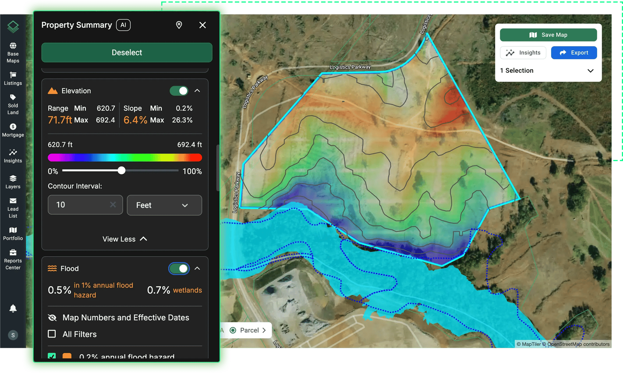
See the Complete Picture in One View
See every data point that defines a parcel in one interactive Property Summary panel—elevation, flood zones, ownership, zoning, environmental risk, and more.
Mapping in Minutes, Not Months
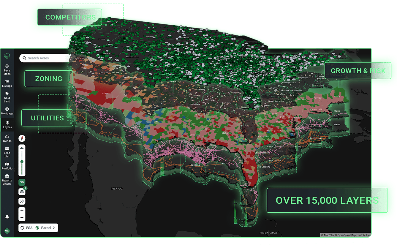
Access thousands of data layers or upload your own files to visualize them on the map immediately.

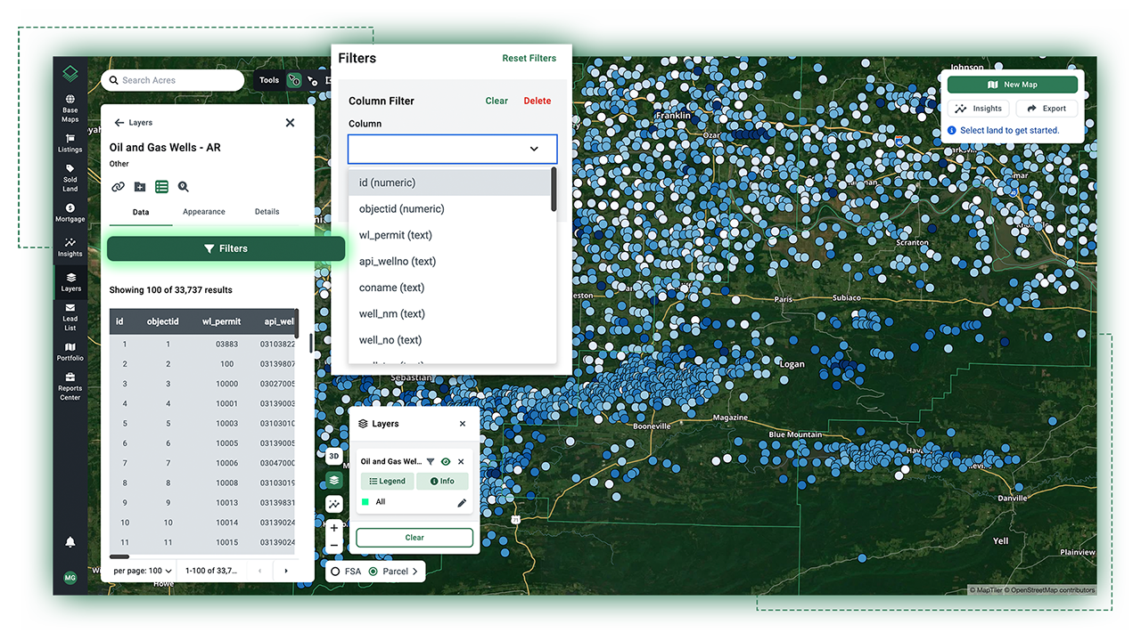
Simple Filtering for Faster Research
Filter large datasets to exactly what you need with intuitive controls. Speed up research by surfacing the insights you need, when you need them.
Why Acres?
✓ Complete view of risk and opportunity
✓ Instant data mapping and styling
✓ Easy to use for your whole team
✓ Built in filters and search
✓ No GIS specialists needed
✓ No long timelinesSee the Complete Picture in One View.
Map the data you need and start using it in minutes.
Download the App