Create Maps in Minutes
From building beautiful custom maps to AI deed plotting, Acres makes mapping easy.
"Acres has saved me a lot of time and effort, as I no longer need to juggle between multiple mapping platforms. I highly recommend Acres to anyone in the real estate industry."
— Jake Hofer, Broker
LandProz
Shareable Custom Maps & Site Planners
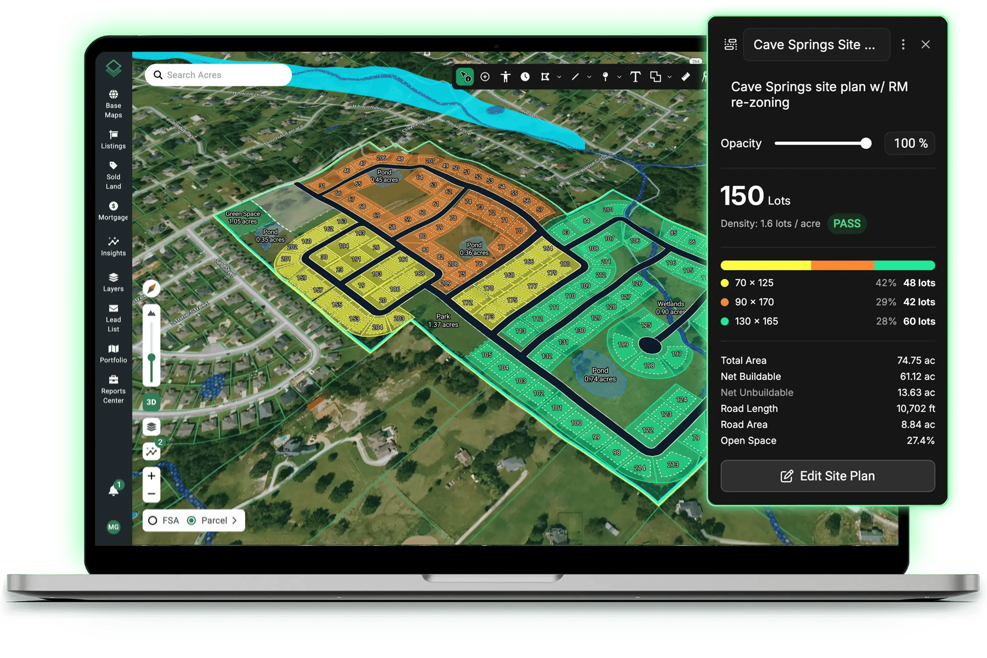
Have complete control over your maps, bypass traditional bottlenecks, and generate realistic lot yields to reflect how your team actually builds.
Build Shareable Custom Maps
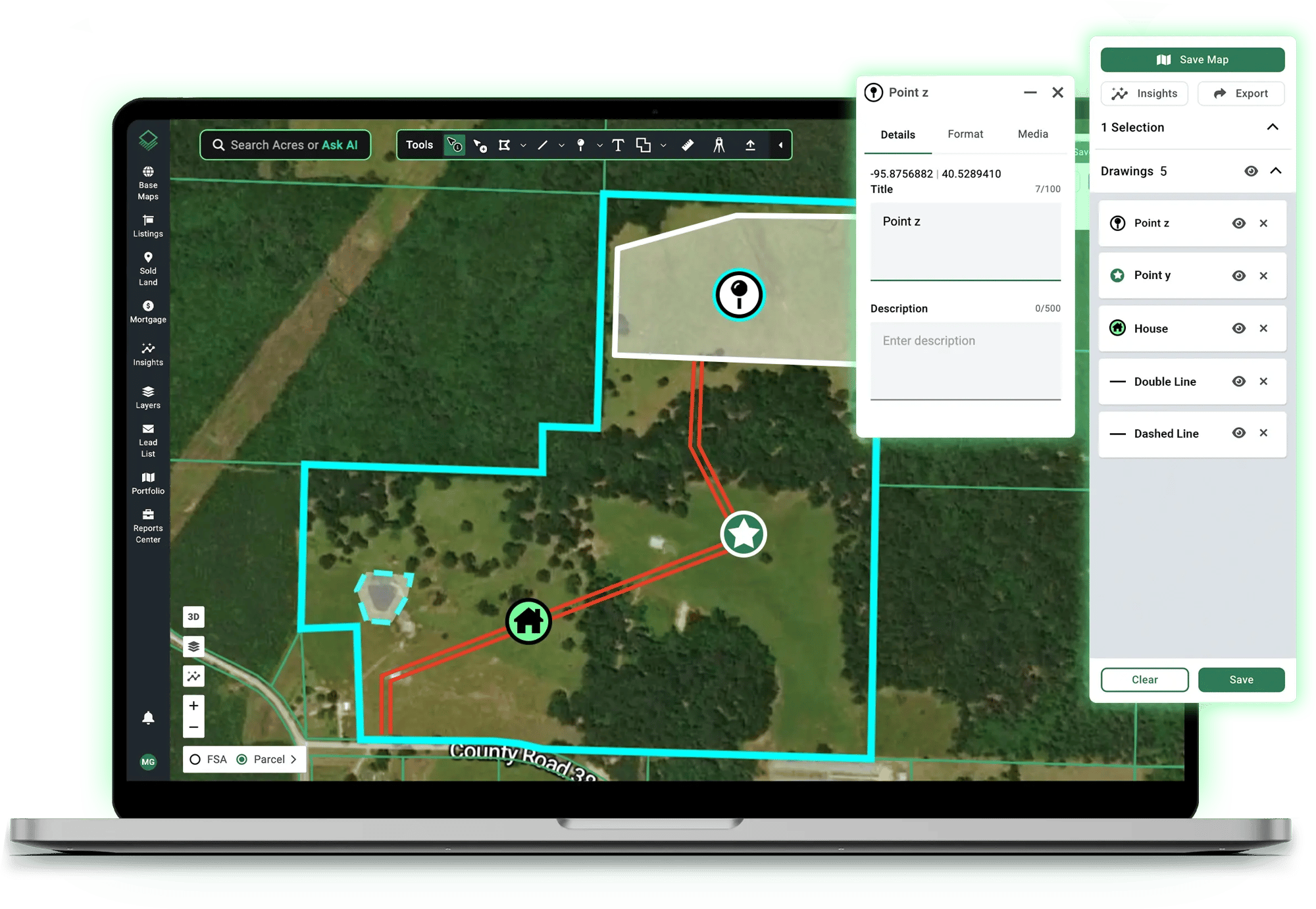
Showcase properties and plan projects with a complete set of tools for marking up maps, drawing boundaries, attaching photos, and more.
Turn a Pile of PDFs Into a Ranked Shortlist
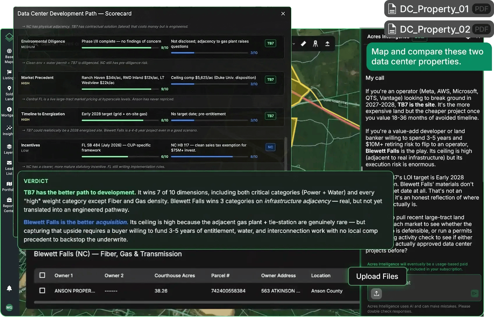
Build a quick comparison dashboard of multiple opportunities to see which parcels offer the highest yield and fastest path to approval. Generate cost and timeline estimates and screen sites against your specific goals.
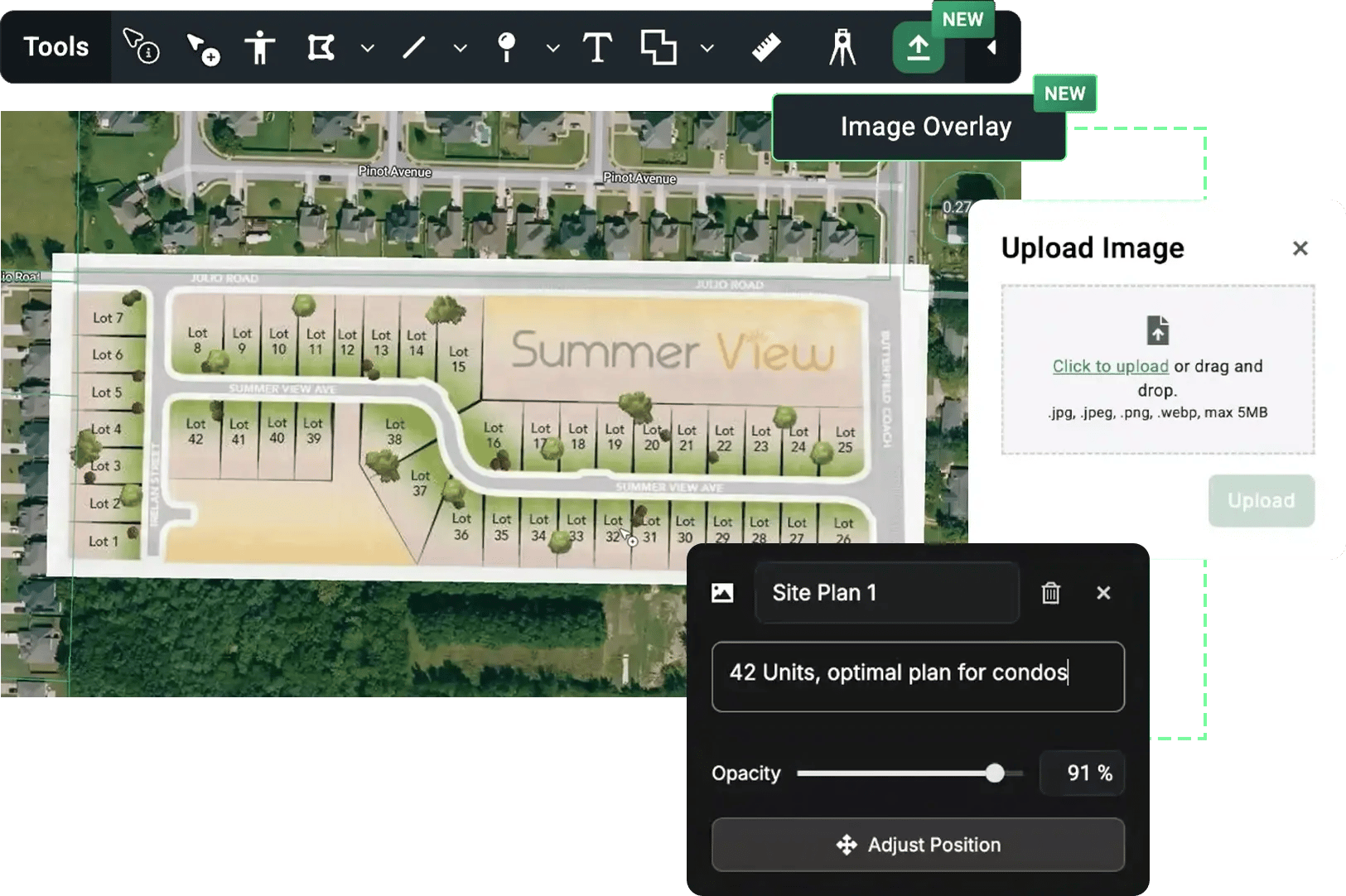
Map Site Plans With Custom Imagery
Overlay your own imagery on the map to see how your plans align with parcels, roads, and the surrounding area.
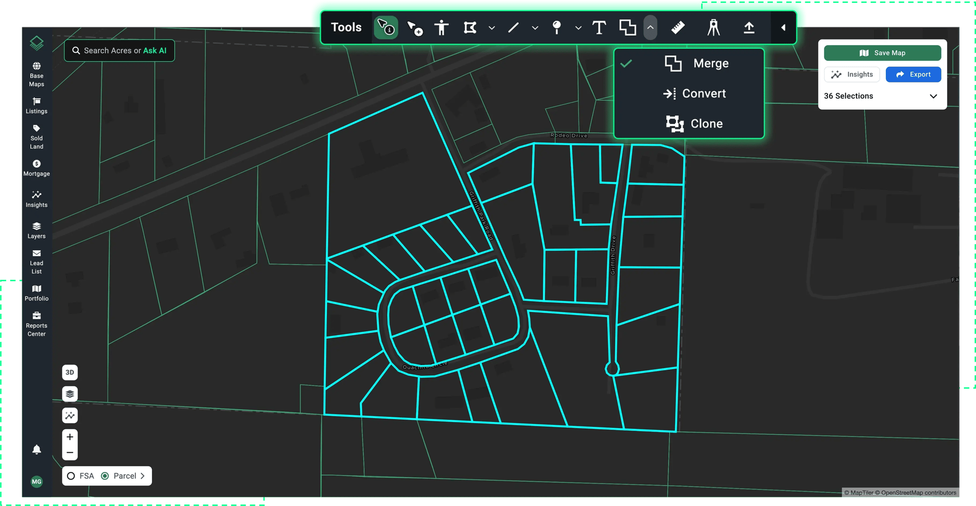
Draw and Edit Boundaries
Whether you need to merge multiple parcels or draw your own map, easy to use boundary tools give you ultimate flexibility.
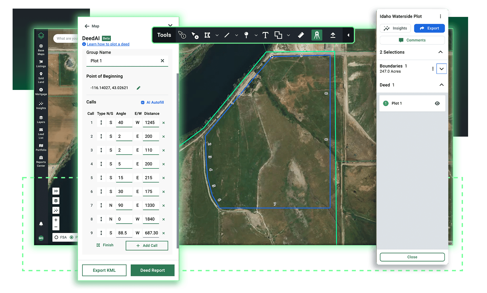
Automate Deed Plotting
Map legal descriptions with DeedAI, easy editing features, and live mapping that saves you hours of work.
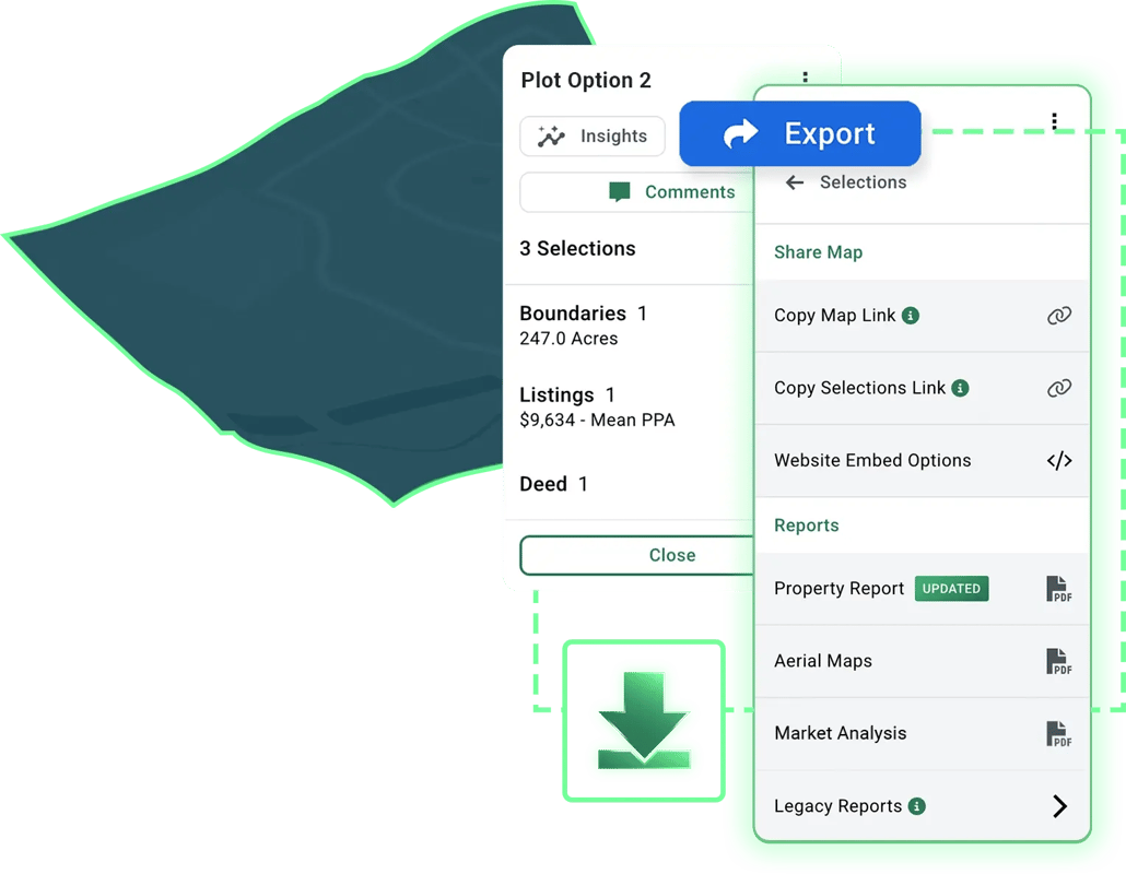
Choose How You Share Your Maps
Send direct links, embed interactive maps on websites, download, and print—Acres lets you share your maps with anyone.
Take Your Maps Anywhere
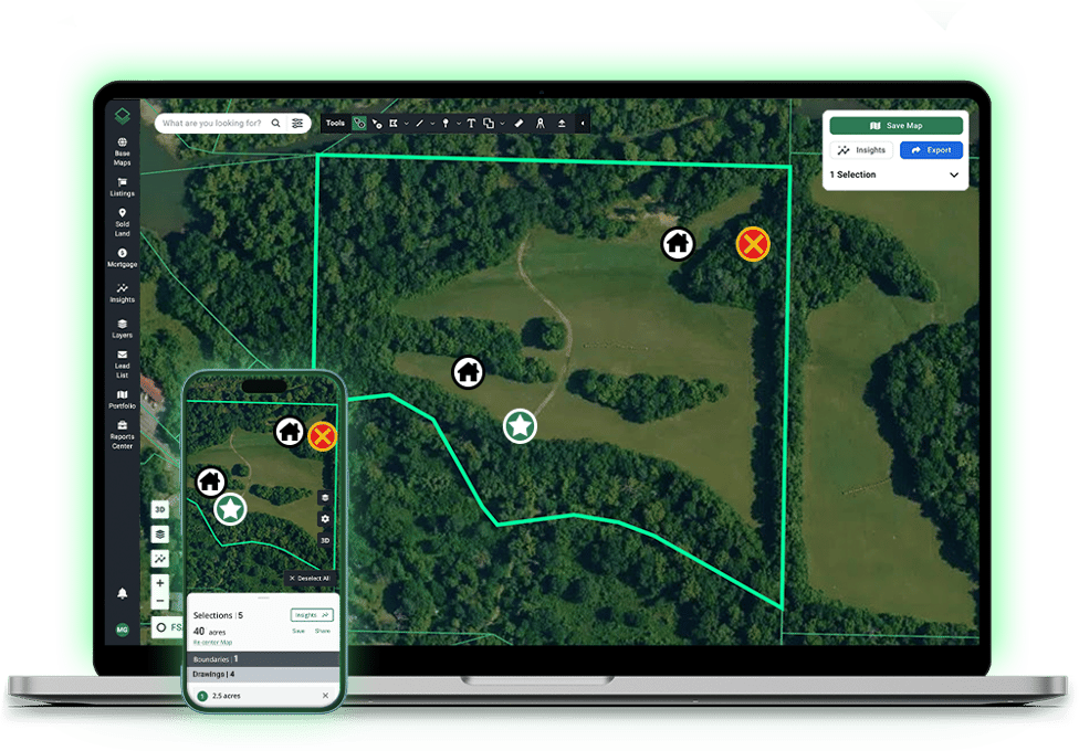
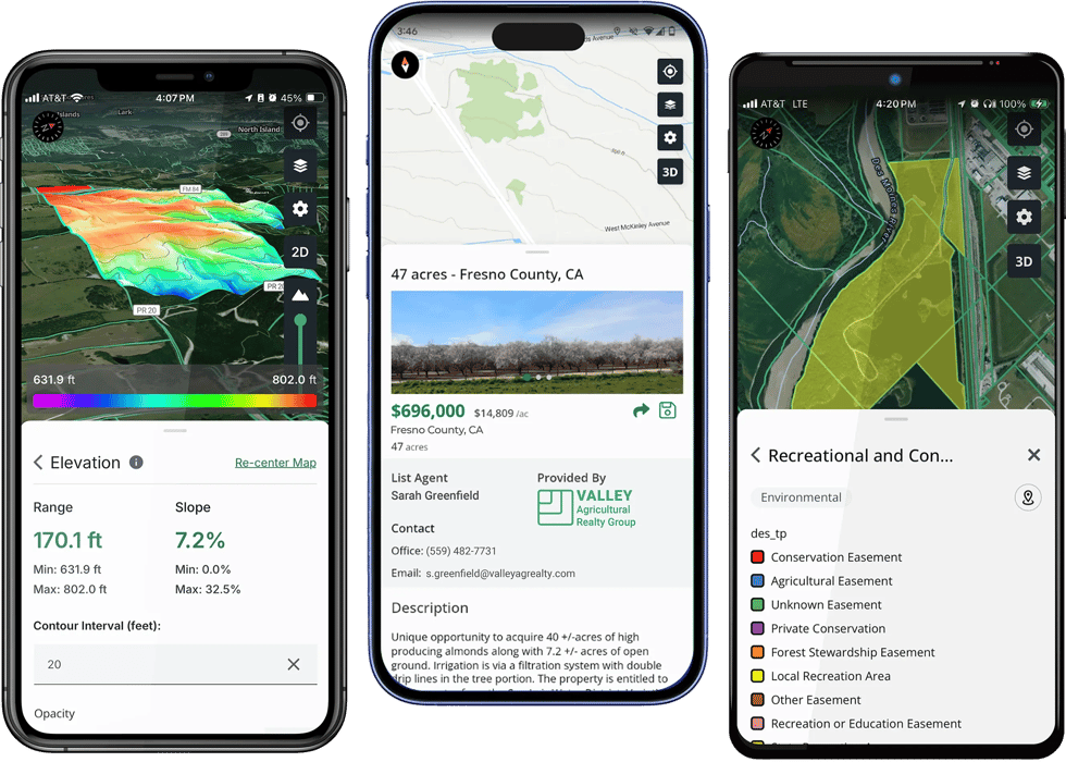
Edit custom maps on the go or take your maps offline with the mobile app, available for both Android and Apple.
%20White.svg)