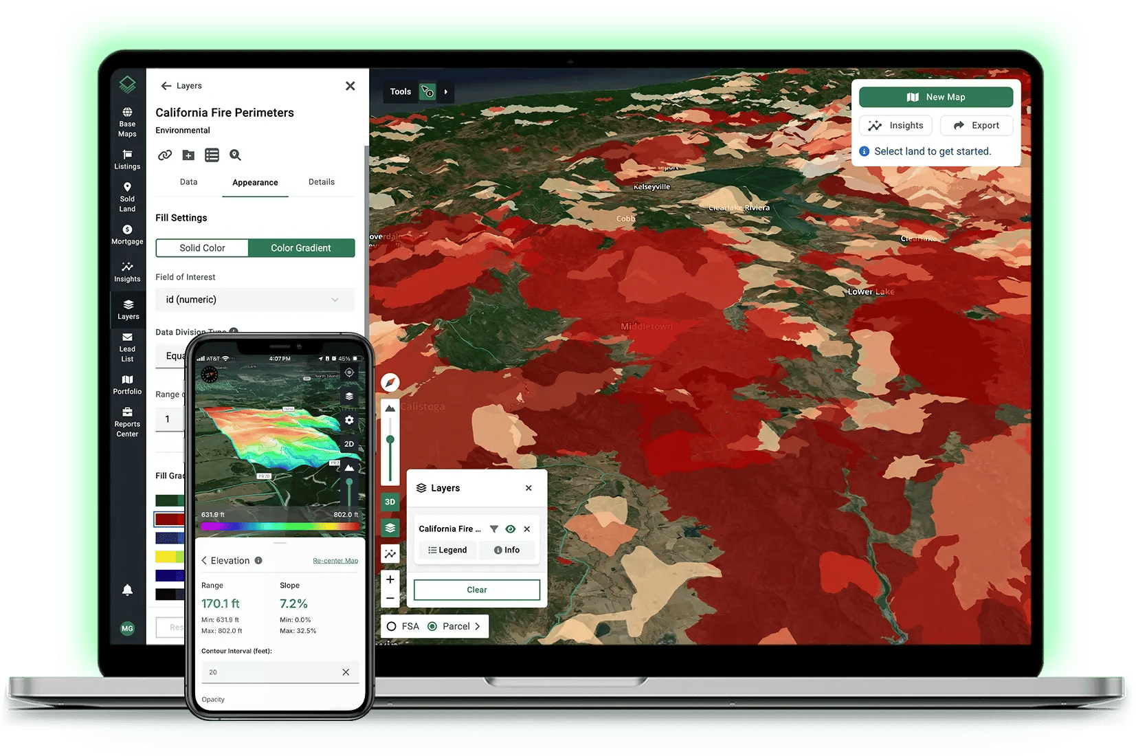
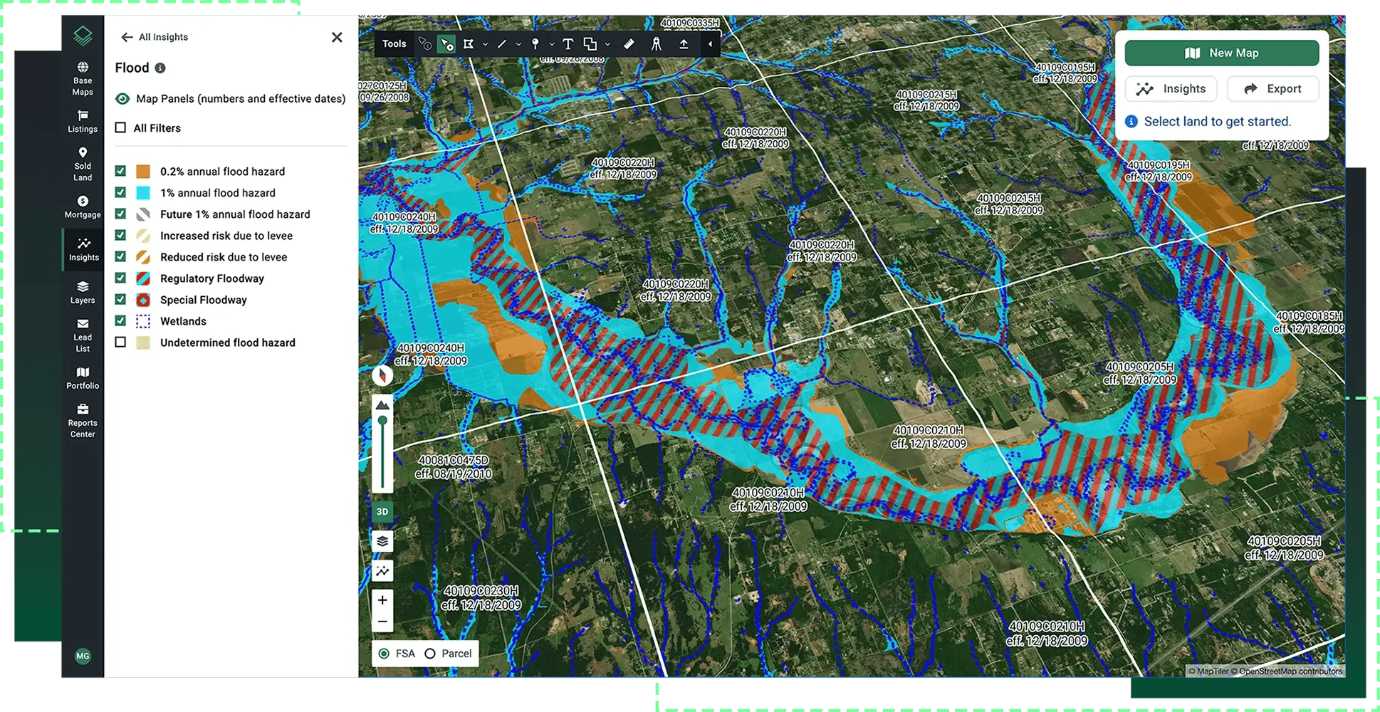
Make informed decisions with access to insights like flood zones, elevation, environmental risk, historical imagery, and more—in one interactive view.
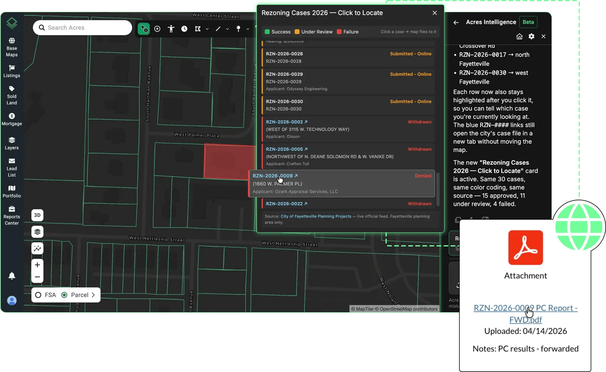
Complete Transparency into Approval and Permitting
See what projects are getting approved or denied in a given market and evaluate the process, timeline, and budget required before committing time and money. Flag hidden constraints and political roadblocks early.
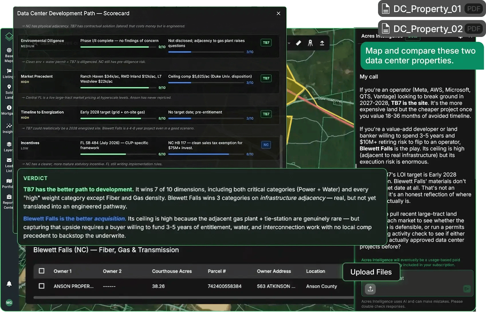
Turn a Pile of PDFs Into a Ranked Shortlist
Build a quick comparison dashboard of multiple opportunities to see which parcels offer the highest yield and fastest path to approval. Generate cost and timeline estimates and screen sites against your specific goals.
Value Land With Confidence
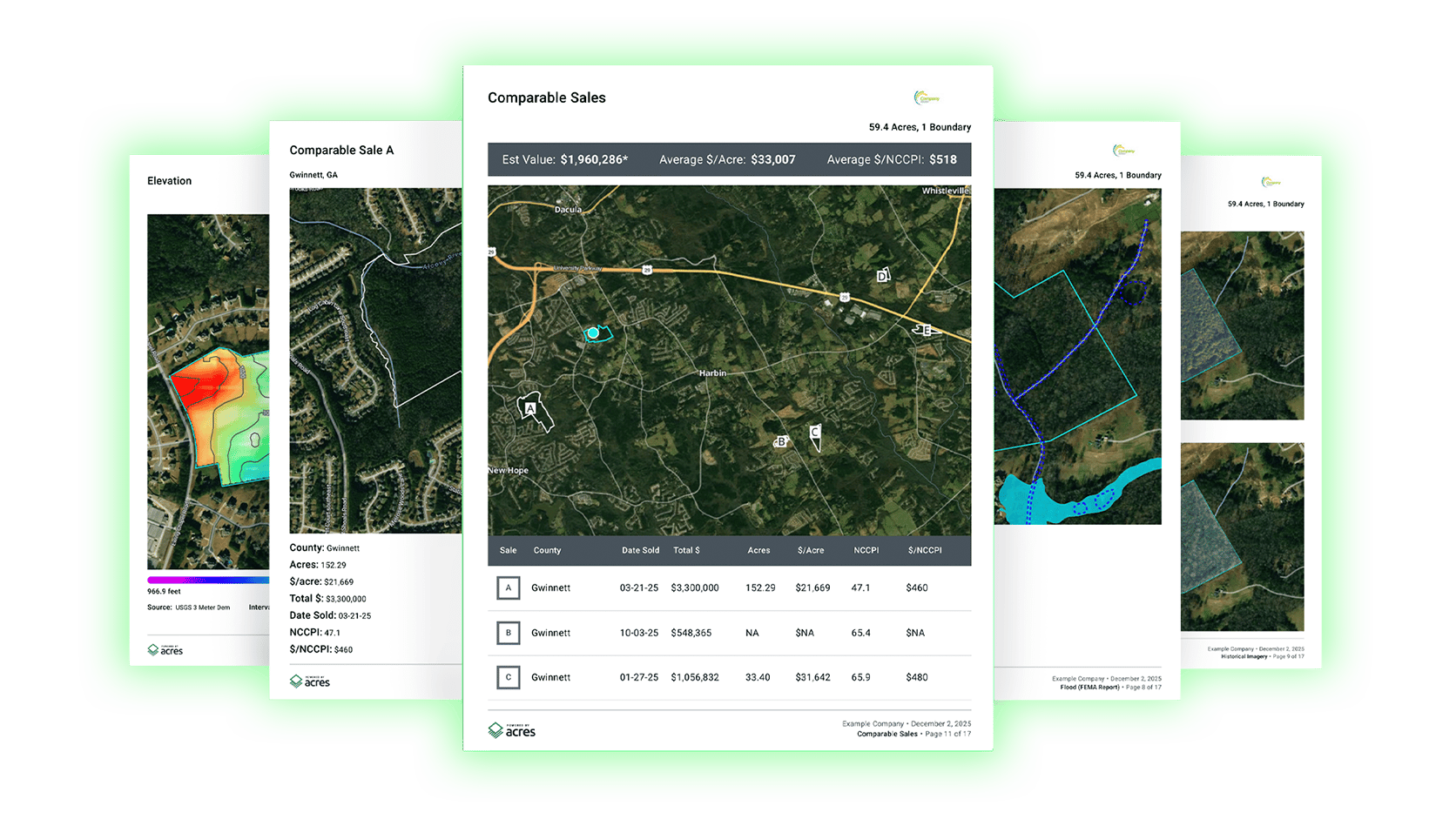
Find relevant comparable sales with the most recent and extensive land sales database available. Weekly updates and transaction data help teams deliver accurate valuations nationwide.
View Regional and Local Data Layers
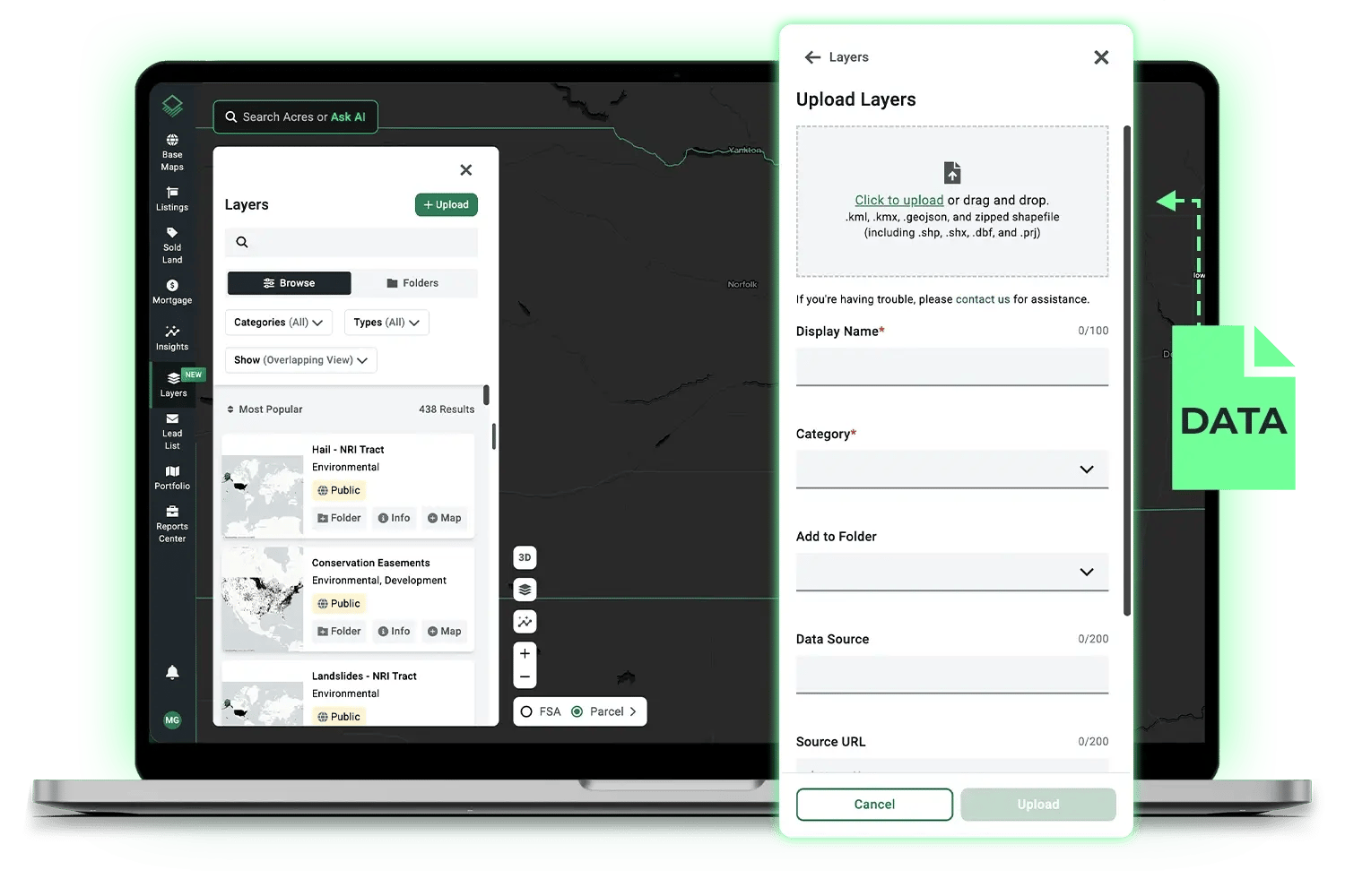
Instantly map regional and local context. Access thousands of datasets like zoning, infrastructure, and environmental risk—or drag-and drop your own data to visualize it on the map.
Build Shareable Reports in Minutes
Customize and export branded PDF property reports, market analyses, and aerial maps in just a few clicks so you can share your research with anyone.






%20White.svg)