Appraise Properties in a Fraction of the Time
Access the largest land sales database available and parcel-level insights in one platform for fast, accurate valuation. Acres Intelligence helps land appraisal professionals deliver quality reports faster.
No video selected
Select a video type in the sidebar.
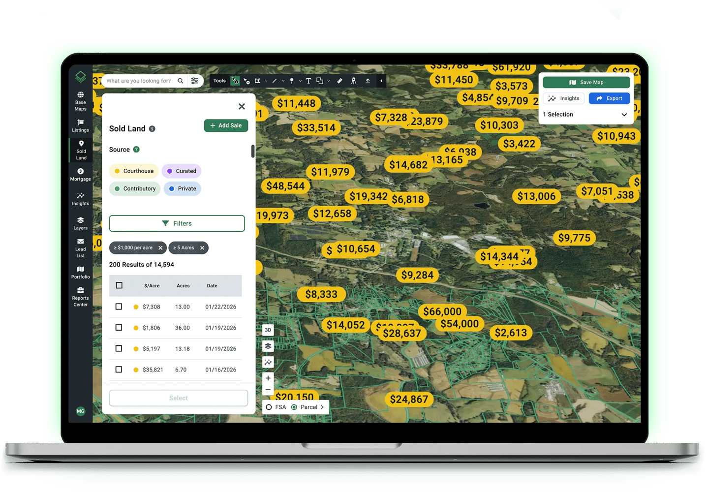
Find the Best Land Sales Data Nationwide
Search recent, relevant sales with the largest, most current land transaction database available. Manage your own private sales database alongside nationwide data for complete market coverage.
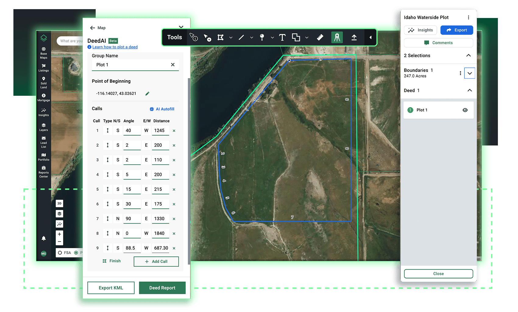
Map Parcels Instantly With DeedAI
Plot complex legal descriptions for accurate boundary maps in minutes instead of hours. Reduce time spent analyzing deeds and create shareable reports that demonstrate your expertise.
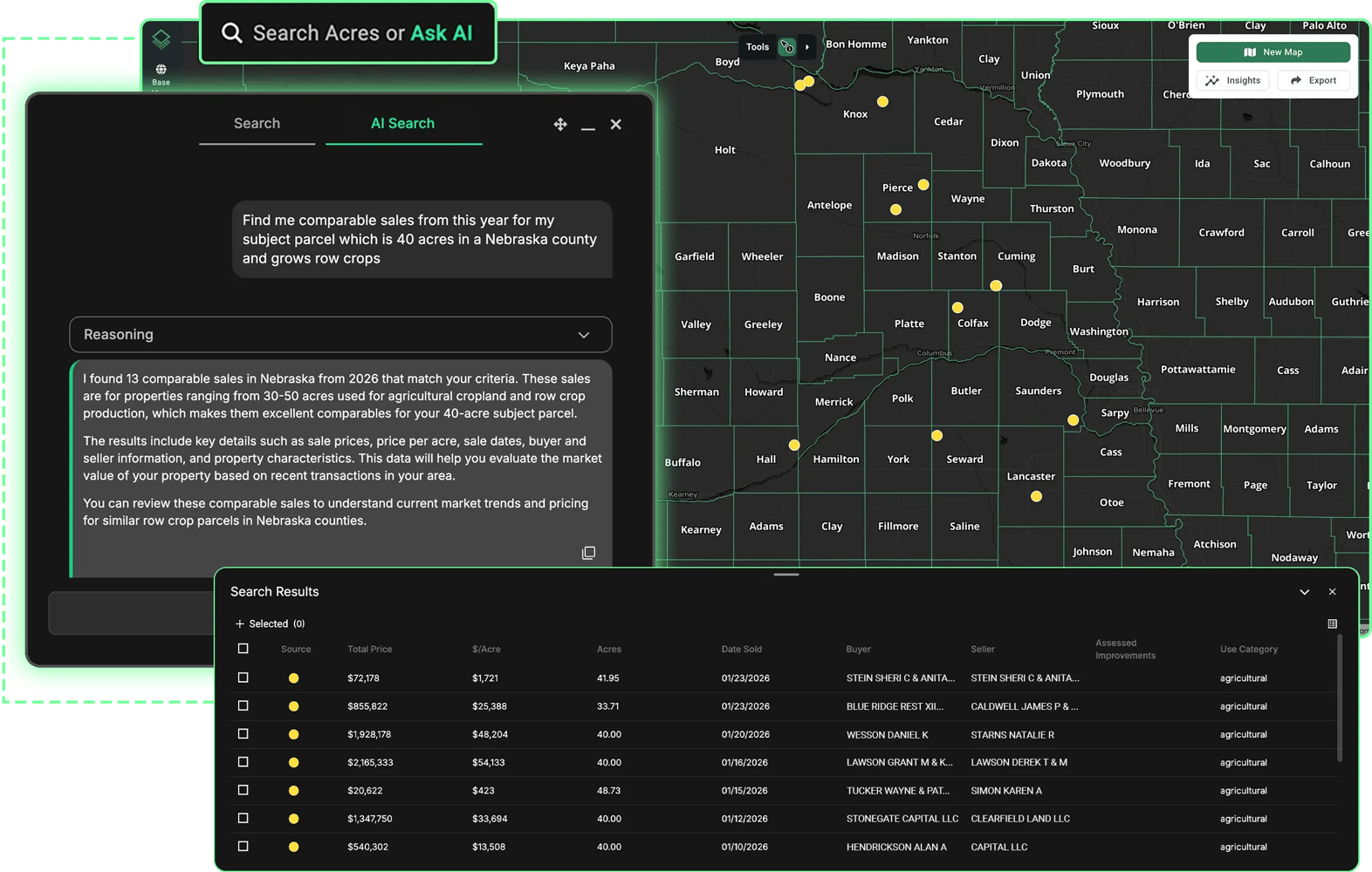
Find the Right Parcels Faster
Describe the parcel you need and watch Acres Intelligence surface matching results instantly, or search by owner address, county, township-range, section, and parcel number.
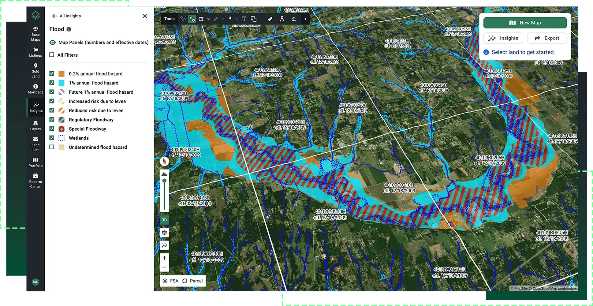
Import the Data You Need
Instantly visualize local datasets and custom shapefiles with Acres’ easy to use set of tools for mapping, bringing all the data you need into one powerful platform.
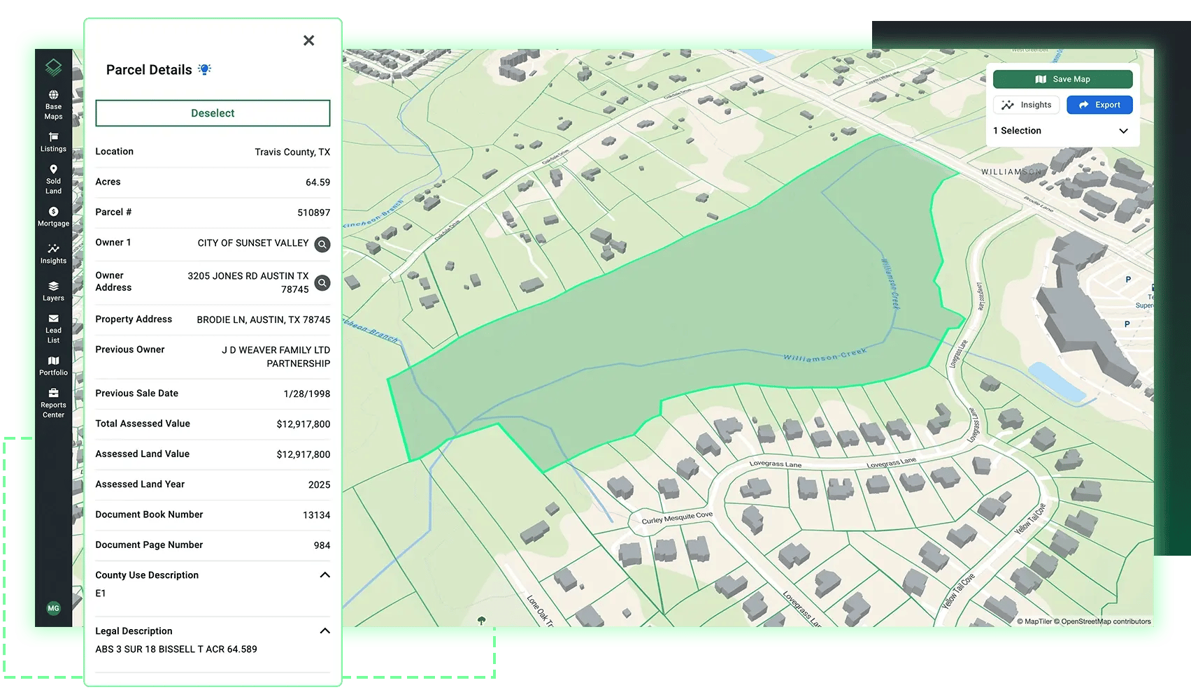
Keep the Latest Assessor Data at Your Fingertips
Make confident valuations with the latest available assessor information, including transaction history and detailed ownership data. Get the parcel details you need without hunting across multiple systems.
"The Acres software provides you with that because they have done all of the backroom stuff of assimilating all of the various data sources that you need. From the sales to the parcels to any governmental maps you need. They're all right there."
— Lee Folsom, Chief Appraiser
Southwest Georgia Farm Credit
Take Acres in the Field
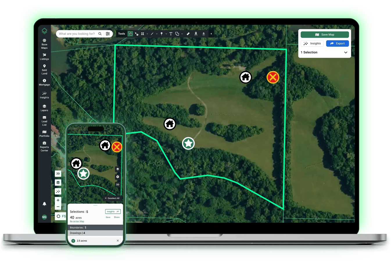
Access property lines and parcel insights on-site while capturing geotagged photos directly on your map. Sync field work with your desktop for a seamless appraisal workflow.
%20White.svg)