%20White.png?width=822&height=672&name=Acres(r)%20White.png "Acres(r) White")
%20Light.png?width=820&height=672&name=Acres(r)%20Light.png "Acres(r) Light")

.png?width=3750&height=1987&name=Case%20Study%20-%20Maronda%20Homes%20-%20Steven%20Hicks%20(1).png)
From 10+ Platforms → 1.
"Having it all together in one place has been a tool that we haven't had before. It would always have to be scattered around in different places to try to paint a picture."
– Steven Hicks, Director of Land, Columbus Division | Maronda Homes
Challenge
With data spread across multiple disconnected platforms, the Columbus Division of Maronda Homes experienced time consuming due diligence and faced difficulty gathering the utility information needed for site evaluations. The team recognized they needed to move faster, and to do that they needed a more unified approach.
Solution
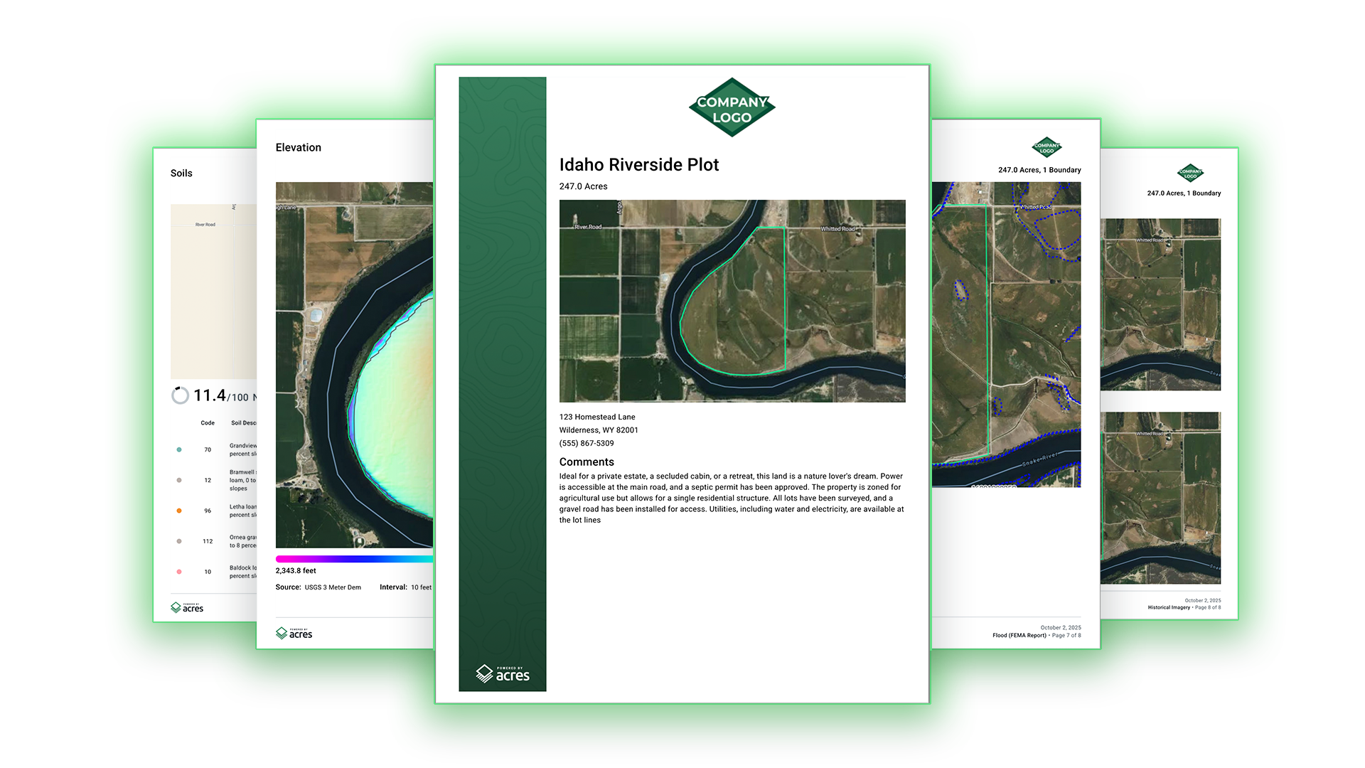
By implementing Acres, Maronda has replaced fragmented workflows with a single system that brings nationwide land data into one place. In partnership with their divisional team, Acres introduced customized utility layers—giving them direct access to critical insights like water, sewer, wetlands, streams, and elevation data.
This shift enables the team to build fully layered project maps, combining site plans, zoning, and surrounding context in one view. As a result, internal presentations to the land committee became faster, more complete, and more compelling—reducing time spent gathering data while increasing confidence in every decision.
Ready to streamline your land research? Book a demo with our team today.


.png?width=3750&height=1987&name=Case%20Study%20-%20DDK%20Forestry%20Real%20Estate%20-%20Doug%20Moore%20Director%20(1).png)
-Sep-17-2026-05-05-00-1809-PM.png?width=1200&height=628&name=Hubspot%20Blog%20Feature%20Image%20(2)-Sep-17-2026-05-05-00-1809-PM.png)
.png?width=1200&height=628&name=Hubspot%20Blog%20Feature%20Image%20(11).png)