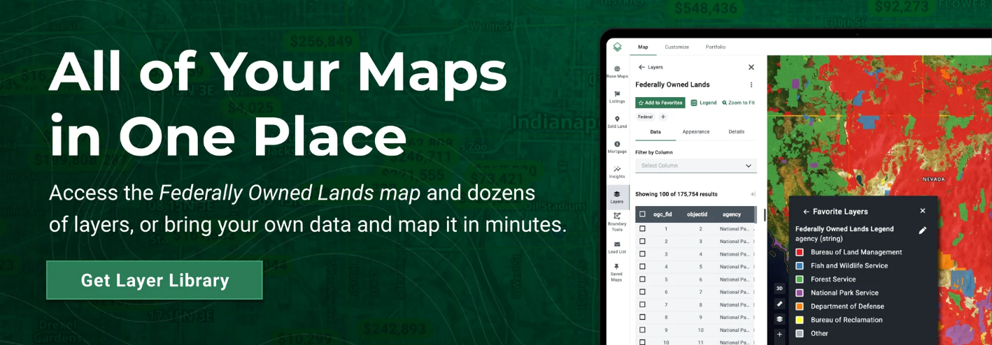


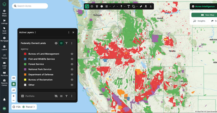
The Federally Owned Lands Map, found in Acres’ Layer Library, gives you nationwide visibility into public land ownership. With this map, you can easily view:
- Land Type
- Managing Agency
- Total Acreage
All in one easy-to-use interface.
Connect with our sales team today to explore thousands more data layers!
Considerations for Developers and Investors
- Potential for Reduced Costs: Federal land may be offered at below-market rates or with incentives for affordable housing.
- Government Partnerships: There is potential for support such as infrastructure assistance, tax incentives, or relaxed zoning from local or federal agencies.
- Long-Term Investment: Newly released public land could offer stable returns and portfolio diversification over time.
- Rules and Regulations: Development may still be subject to restrictions (e.g., residential-only use, height limits, or environmental protections).
- Infrastructure Challenges: Many of these parcels are in rural or undeveloped areas. Developers may need to finance utilities, roads, and other essential infrastructure.
- Positive Social Impact: Projects on federal land can boost local economies, create jobs, and enhance a developer’s public image, especially when aligned with sustainability or affordability goals.
Using Acres’ Layer Library to Get Ahead
Identifying Suitable Parcels
Use the Federally Owned Land layer to locate opportunities that align with HUD and DOI goals. Filter by location, access, and surrounding infrastructure to find parcels ready for residential development.
Accelerating Site Selection
With a user-friendly interface and powerful data overlays, Acres simplifies land evaluation. Make smarter, faster decisions that align with evolving federal initiatives.
Share and Collaborate with Stakeholders
Custom, shareable maps make it easy to communicate opportunities with clients, team members, or leadership. Users can highlight potential sites and generate professional reports with just a few clicks.
Real-Time Market Intelligence
Acres updates its land data, sales, and mapping layers in real-time. When federal assets hit the market, users are among the first to know, keeping them ahead of the competition.
Final Thoughts
With the possibility of government land sales, Acres’ Federally Owned Lands Map can help you plan your next move. Whether you’re a buyer, seller, investor, or land manager, this tool provides the insights you need to act confidently and stay ahead of the market.